A geofence is a named area on the map with a colour. Polygon compares each position a unit reports with the geofences of the account, so rules and reports can say when a unit entered, left or stayed.
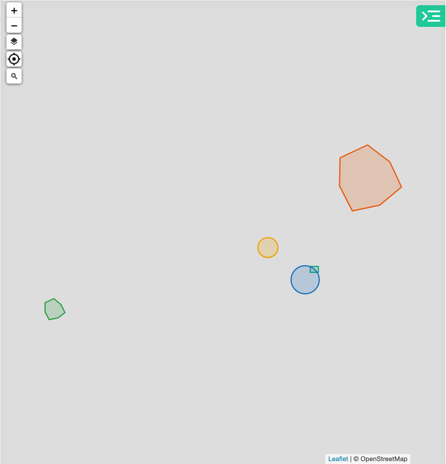
¶ Shapes
| Shape | Use it for | How it is stored |
|---|---|---|
| circle | A point of interest with a radius, such as a fuel station. | Centre and radius. |
| polygon | A depot, a yard or a zone of any outline. It needs at least three points. | The corner points. |
| rectangle | A quick box around a building or a yard. | The four corners. |
The form offers these three shapes and no others; its polygon button is labelled Area. A rectangle becomes a polygon the first time you change its shape, and Polygon saves it as a polygon. The area and the perimeter show in the form as you draw, in your account's distance unit. A circle's radius can also be typed.
¶ Sharing with sub-accounts
With Share with child accounts on, every account below yours can use the geofence in its own alerts, routes and reports. They see it as read-only. A visit is checked against the account's own geofences and the shared ones from accounts above it, never against geofences of accounts below.
¶ Geofence names as addresses
With Use the name as the address inside on, any point inside the geofence gets the geofence's name as its address. If the geofence has a description, the name is followed by the description in brackets. Where geofences overlap, the smallest one names the point. Trips and reports that resolve addresses use these names before they look up a street address.
¶ Visibility by zoom level
Visible on the map sets the zoom levels between which the shape is drawn on the map, from 0 (World) to 19, past Street. Outside that range the shape is hidden on the map only. Alerts and reports still use it.
¶ Entries, exits and visits
Alert rules react when a unit crosses the outline. Reports count a visit from entry to exit.