Draw an outline around a place so alerts and reports know when a unit is inside it.
¶ Before you start
- You need the Geofences > Add permission. The Owner role has it.
- Know the shape you want. A polygon follows any outline; a rectangle is a box. See About geofences.
¶ Draw a polygon
-
In the side menu, select Reference Data > Geofences.
The Geofences tab opens beside the map. -
Select New geofence.
The New geofence form opens. -
Optional: find the place. Enter an address in the search box at the top of the map, or zoom with the plus and minus buttons.
-
Under Shape, select Area.
A hint over the map asks you to place the first corner. -
Select each corner of the outline on the map, one point at a time. A polygon needs at least three points.
The hint shows the area so far. Undo corner removes the last point. -
Select the first corner again, or select Finish in the hint bar.
The shape fills with colour and the form reads Shape drawn. Area and Perimeter show its size.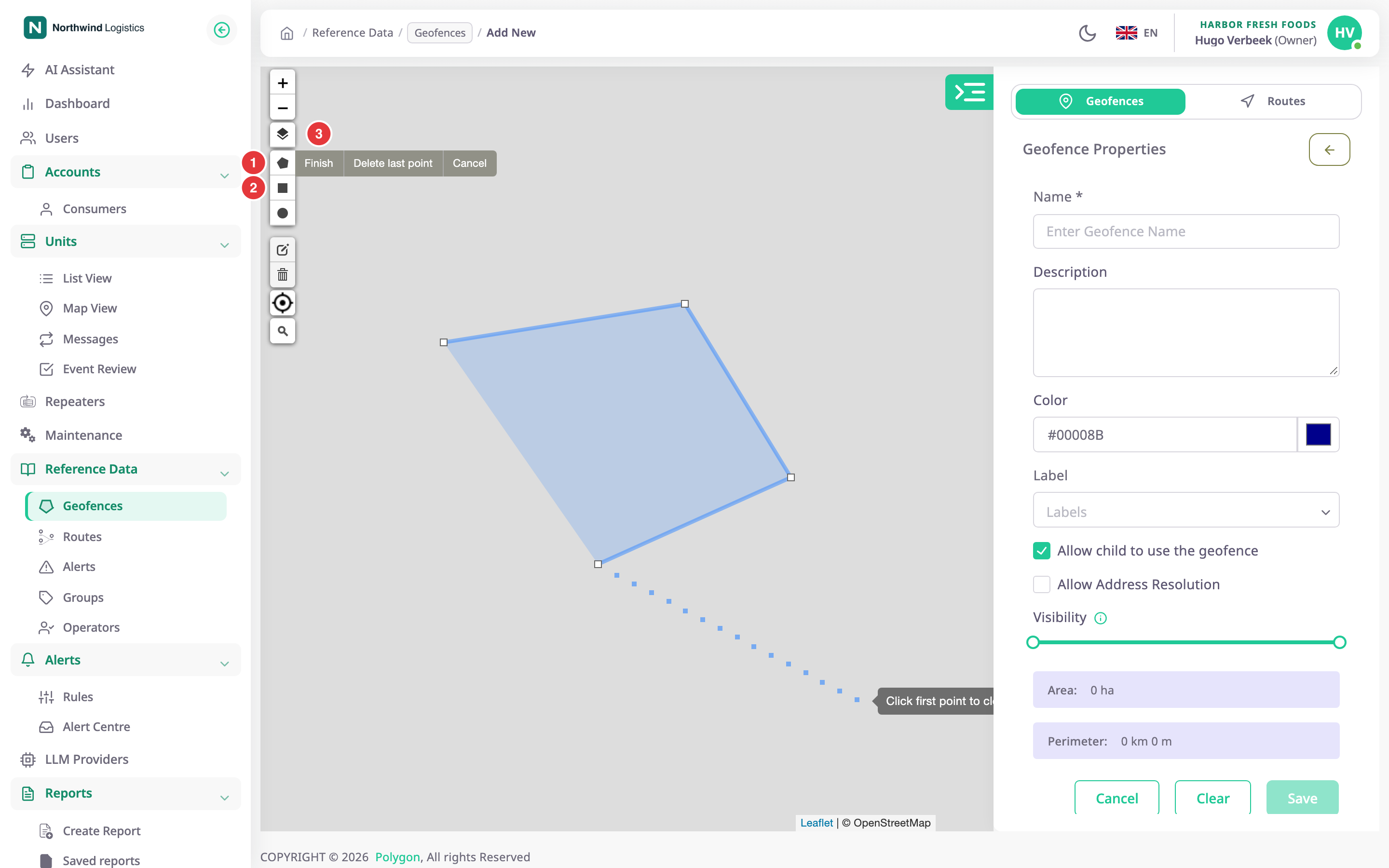
-
In Name, enter Rotterdam cross-dock.
-
Optional: choose a Color, a Label, and the options. See the Geofence form.
-
Select Save geofence.
The message "Geofence created successfully" appears and the Geofences tab lists the new geofence.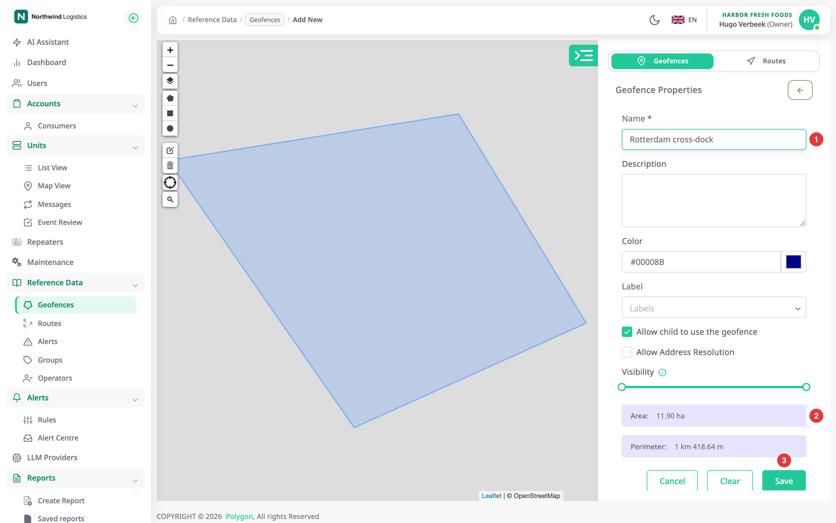
While you draw, the keyboard helps too: Backspace removes the last corner, Enter finishes, and Esc cancels.
¶ Draw a rectangle instead
In step 4, select Rectangle. Press at one corner of the box, drag to the opposite corner and release. Continue from step 7. Rectangles are saved as rectangles, but become polygons once you edit them.
¶ If the shape is wrong
- Drag a corner to move it, or drag the midpoint of a side to add a corner.
- Select Redraw to draw the shape again, or Delete shape to remove it.
- Select Cancel in the hint bar, or press Esc, to stop drawing.
¶ What happens next
The geofence is available straight away in alert rules, route checkpoints and report filters. With Share with child accounts on, accounts below yours can use it too.