A geofence is an area you draw on the map: a circle, a polygon or a rectangle. A route is an ordered list of checkpoints a unit should visit. Both live in one workspace: a map with a panel beside it that has the tabs Geofences and Routes. The map uses the same search bar, base maps and map style as Tracking, and keeps the base map you chose there.
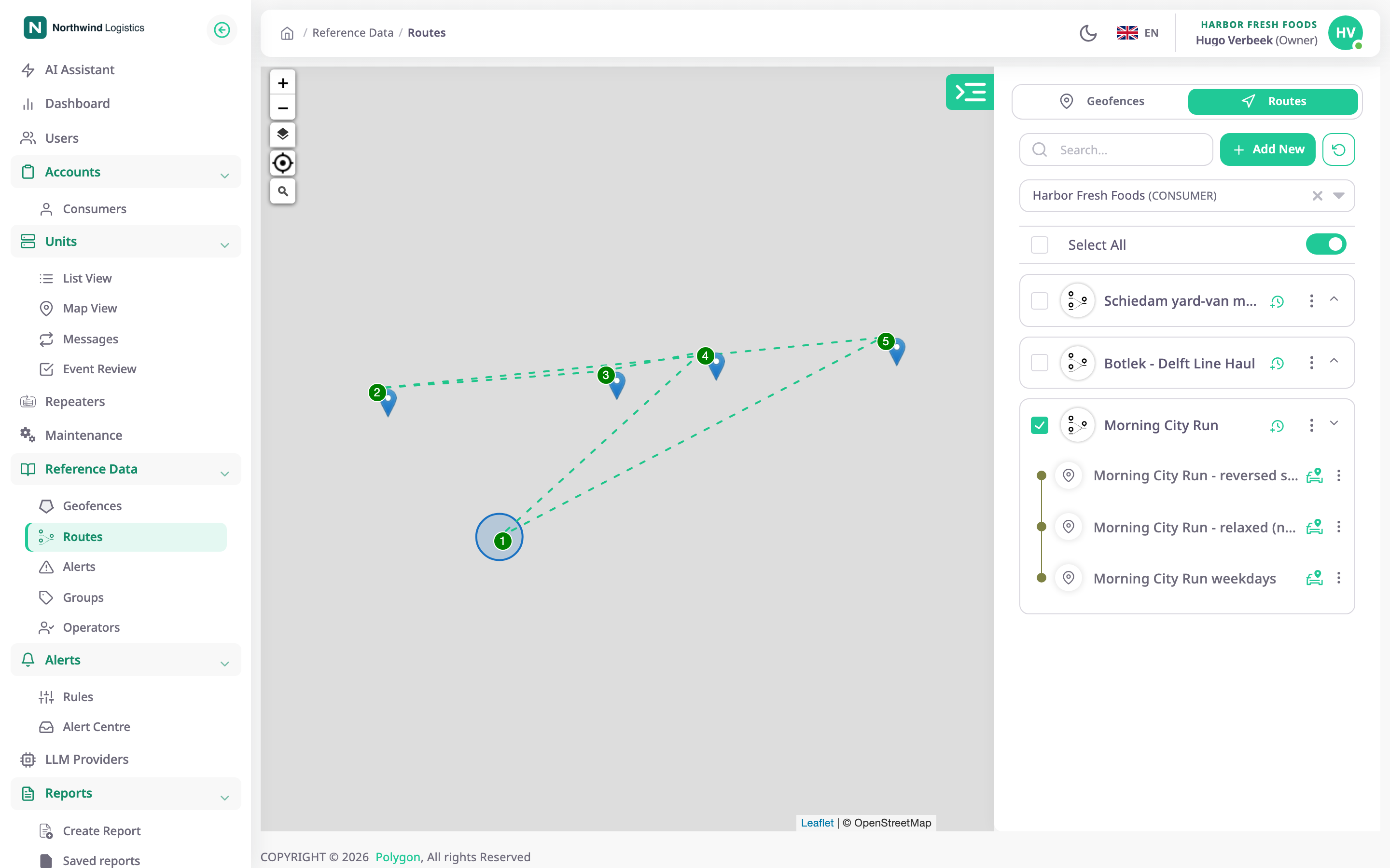
To open the workspace, in the side menu, select Reference Data > Geofences or Reference Data > Routes. The tabs switch between the two lists without leaving the map.
¶ When to use them
- Mark a depot, a customer site or a low-emission zone, so alerts and reports know when a unit is inside.
- Show the geofence's name as the address of a trip stop instead of a street address.
- Describe a delivery round once and check every day whether units ran it on time.
- Compare the plan with what happened: late arrivals, missed checkpoints, rides that never finished.
¶ Where Polygon uses them
| Object | Used by |
|---|---|
| Geofence | Alert rules such as Geofence entry, Geofence exit, Inside geofence for and Expected arrival missed. Reports such as Time on site. Address names in trips and reports. Route checkpoints. |
| Route and schedule | Alert rules in the Routes family, such as Checkpoint missed. Route reports such as Ride log and Route adherence. |
See Alert rule templates and the report template catalogue.
¶ Your own and inherited items
A geofence or route made in a parent account with Share with child accounts on also shows in the accounts below. There it is read-only: you can view and clone it, but not edit or delete it. The people icon above each list hides or shows these shared items.
¶ What the app does not have
You cannot import geofences from a file, assign units to a geofence, or draw a corridor around a route. You can import a route's checkpoints from a CSV, GPX, KML or GeoJSON file. The Route deviation alert template is listed in the rule form but you cannot choose it.
¶ What you can do
- Draw a polygon or rectangle geofence
- Draw a circle geofence
- Edit or clone a geofence
- Create a route
- Schedule a route
- Check whether a route ran on time
- Delete geofences and routes
¶ Next steps
Read About geofences to choose a shape, or About routes and checkpoints before you build a route.